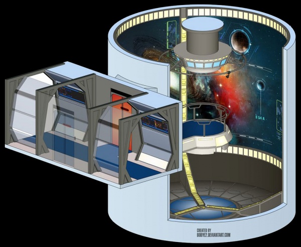
Stellar cartography is the science and practice of mapping and making projects of space. The Federation uses the older Human and Vulcan system of quadrants, sectors, and systems. To pinpoint specific places in space, we use a set of coordinates whose basis is taken from the center of the galaxy. As space is an ever-changing place, so too must cartography be constantly updated.
Credits
The artwork contained on this page was created by Bobye.
| USS BLACK HAWK TOUR • COMPLETE DECK LISTING | |
| KEY LOCATIONS | Main Bridge • Main Conference Lounge • Sickbay • Flight Deck • Main Engineering • Security Complex |
| SECONDARY LOCATIONS | Captain's Ready Room • XO's Ready Room • Brig • Armory • Mess Hall • Cargo Bays • Transporter Room Science Labs • Auxiliary Control • Chief Counselor's Office • Chief Operations Officer's Office Squadron Command Center • Intelligence Center |
| LIVING AREAS | Captain's Quarters • Senior Officer Quarters • Officer Quarters • Junior Officer Quarters Senior NCO Quarters • NCO Quarters • Enlisted Quarters VIP / Guest / Civilian Quarters • Fighter Pilot Quarters |
| OFF DUTY & LOUNGE | Holosuites • Holodecks • Talons • USS Black Hawk War Time Memorial • Recreation Room • Library • Arboretum |

